
NG Media
- RadioNGM
- RadioNGM Home
- Program Guide
- Competitions
- Featured Podcast
- Featured Albums
- Announcers
- Community Announcements
- Film & TV
- Film & TV Home
- Our TV Shows
- Films
- Documentaries
- On Location Blog
- Music Performances
- Community Announcements
- Media Training
- Training Centres
- Upcoming Classes
- Video Lessons
- Staff

15Ngaanyatjarra Communities
Stretching over 250,000²
kilometres all working
together as one!
15 Ngaanyatjarra Communities
NG Media is a thriving indigenous-owned media organisation supporting 15
remote communities in the Western Desert region of Western Australia.
-
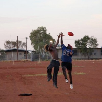
Kiwirrkurra
Considered one of the most remote locations in Australia, Kiwirrkurra was formed near a bore as a homeland for the Pintupi people in the mid 80’s. These people had been moved to Papunya in the late 1950’s and 60’s.
The establishment of Kintore in the 1980’s brought the Pintupi closer to their original homelands, and then on to Kiwirrkurra. The community has a store, clinic, office, women’s centre, radio transmission room, school and airstrip.
-
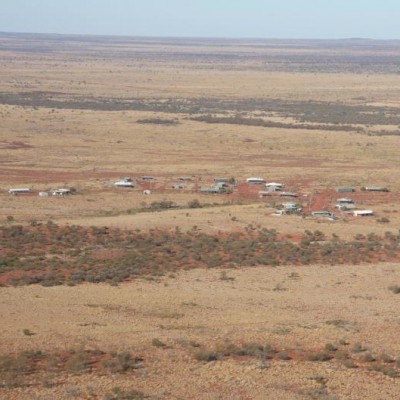
Patjarr
The relatively new community of Patjarr, also known as Karilywara, with the Clutterbuck Hills as a backdrop, was established in 1992 as an outstation of Warburton. Its Pintupi residents were one of the last groups of Indigenous Australians to be contacted by non-Indigenous people in the early 1970’s and taken to the Warburton Mission. There they felt unwelcome for their traditional bush mannerisms and many left to live in fringed mining camps further out, eventually bring them to the location Patjarr now stands.
The residents of Patjarr Community speak a either Ngaanyatjarra or Pintupi. The community has an office, store, art centre and airstrip. -
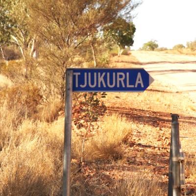
Tjukurla
Tjukurla was originally established as an outstation for Docker River with the placement of a bore in the early 80’s. The population grew from people moving on from Docker River, Kintore and Warakurna to Tjukurla and the community infrastructure developed.
In 1987 the mainly Ngaanyatjarra-speaking community became incorporated and now has a hall, store, airstrip, school, library, women’s centre, and office.
-
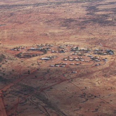
Warakurna
Warakurna is located at the Western end of the picturesque Rawlinson Ranges near the Giles Meteorological Weather Station.
Home to 180 Yarnangu people; the primary language in Warakurna is Ngaanyatjarra. It consists of a community office, store, school, clinic, women’s centre, art centre, and media centre as well as other facilities located 7km away on the Great Central Road – a health education facility, courthouse and police station, airstrip, radio transmission room and a roadhouse.
-
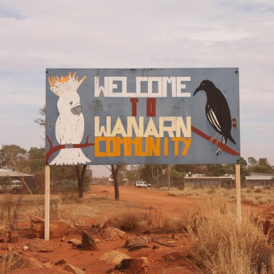
Wanarn
Wanarn, also spelt Wannan, evolved from a Yarnangu campsite. It was used by the Yarnangu when they travelled on the road developed in the 1970’s to provide easier access between Warburton and Warakurna.
The Ngaanyatjarra-speaking community was established there in the late 1980’s, becoming incorporated in 1989. Ngaanyatjarra Health manages a 15-bed respite care centre in Wanarn, which provides both low and high care and allows frail older people to remain on the NG Lands.
The community also has its own airstrip, office, school, youth drop-in centre, football oval, radio transmission room and modern new store.
-
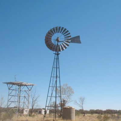
Tjirrkarli
The small Ngaanyatjarra-speaking community of Tjirrkarli is located Northwest of Warburton.
Established in the 1980’s near a bore put down by the Shell Oil Company, Tjirrkarli became an incorporated member of the Ngaanyatjarra Council in 1987 and now boasts an airstrip, hall with gymnasium equipment, women’s centre, store, school and clinic.
-
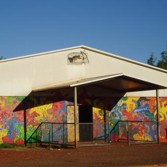
Warburton
The largest community in the Ngaanyatjarra Lands, Warburton has also been around the longest, becoming incorporated in 1973.
It was established as a mission settlement, directly off the Great Central Road by the United Aboriginal Missionaries in the 1930’s. Warburton first provided the Yarnangu people with rations of blankets, tools and food so they did not need to travel to the goldfields region of Laverton for trading.
The Ngaanyatjarra-speaking community has since developed into a thriving metropolis containing an office, store, school, community college, women’s centre, art centre church, workshop/garage, swimming pool, football oval, hall, police station, clinic, roadhouse, airstrip and radio transmission room.
-
-Community.jpg)
Mantamaru (Jameson)
Many residents of Jameson or Mantamaru as the locals know it, were educated at the Warburton Mission, which, at the relatively short distance of 125km away, allowed families to take their children from the mission during school holidays and travel between the two communities.
The English name of Jameson is shared with the Jameson Ranges, named after an early European explorer. Mantamaru, or Parnamaru, as was the original name at the time of incorporation in 1976 can be translated into Ngaanyatjarra or Pitjantjatjarra as black (maru) ground (manta or parna), which is an accurate description of the small black stones covering the ground of the Ranges. The Ngaanyatjarra-speaking community consists of a school, office, store, hall, airstrip, women’s centre, football oval and media centre.
-
-Community.jpg)
Blackstone (Papulankutja)
Blackstone is also known as Papulankutja in the native languages. Many of the Ngaanyatjarra-speaking residents were raised on the Warburton Mission, while many of the remaining Pitjantjatjara speaking locals grew up on the Ernabella Mission over the South Australian border.
The headquarters and camp of Southwestern Mining were located south of the Blackstone Ranges in Tollu onwards from the late 1950’s. When this was eventually abandoned, Yarnangu people transported the remaining materials to one of the bores built on the route from Ernabella into the Ngaanyatjarra region, thus developing the community of Blackstone, which became incorporated in 1976. Now the community boasts a hall, school, community library, indoor swimming pool, store, office, women’s centre, thriving art centre and a media centre.
-
.jpg)
Wingellina (Irrunytju)
Wingellina, known as Irrunytju in the local language, is home to the NG Media Centre.
Located 12 kilometres south west of the tri-state border of South Australia, Northern Territory and Western Australia, Wingellina falls 10kms on the WA side of the border in the Ngaanyatjarra Lands (but uses Central Standard Time).
Wingellina became an incorporated community in 1976 and has been a member of Ngaanyatjarra Council since its inception in 1981. It is home to around 150 Yarnangu people who speak primarily Pitjantjatjara, with the remainder Ngaanyatjarra-speaking people. Wingellina has it’s own Community Resource Centre, airstrip, school, hall, art centre, clinic, office and store.
-
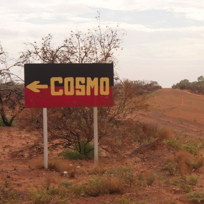
Cosmo Newberry
The community of Cosmo Newberry has had a varied history from its origins as a settled community leased by two returned soldiers (grandfather’s of current residents) in 1920. After being used for a period by the Government as a ration depot, the United Aboriginal Mission took over its governance for the next 23 years. In 1976 it was turned over to the community to run, however over the next 11 years so many residents left it was eventually abandoned completely.
In 1989, four families returned with the purpose of reviving the community, which was achieved when it became affiliated with the Ngaanyatjarra Council in 1994. Cosmo Newberry now has a clinic, school, hall, and store.
-
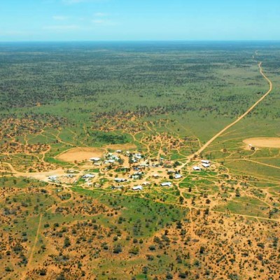
Tjuntjuntara
Tjuntjuntjara Community is located in the Menzies Region of WA, 700km east of Kalgoorlie in the Great Victoria Desert. The community was established in 1988 after a water bore was drilled at the location.
The Tjuntjunjara community members are part of a larger group known as ‘the Spinifex People’, who were removed from their homelands (which range across the WA and SA border lands) prior to the British atomic testing at Maralinga in the 1950s and 1960’s. The community boasts a Community Resource Centre, Women’s Centre, clinic, office, store, school and airstrip.
